Terrestrial Laser Scanning (TLS)
We conduct terrestrial laser scanning (TLS) measurements at our Lägeren and Davos research sites. The data is collected using a Leica blk360 and Leica RTC360 scanner, renowned for its high accuracy in capturing detailed 3D information. Measurements are typically taken during both leaf-on and leaf-off conditions to analyze seasonal variations in forest structure.
The raw data is processed into 3D point clouds and voxels and was used to conduct radiative model.
Contact
Are you interested in working with TLS data of Swiss forests? Please contact Michael Niederberger.
Reach out 🡆Available Sites
Lägeren
TLS data is available in the Lägeren forest close to the research tower.
Device: Leica blk360
- LeafOff: 11. April 2022
- LeafOn: 16. August 2022
Device: Leica RTC360
- LeafOn: 11. July 2024

Davos
TLS data is available in the Davos mountainous spruce forest close to the research tower.
Device: Leica blk360
- LeafOn: 16.- 18. June 2021
Device: Leica RTC360
- LeafOn: 13. August 2024

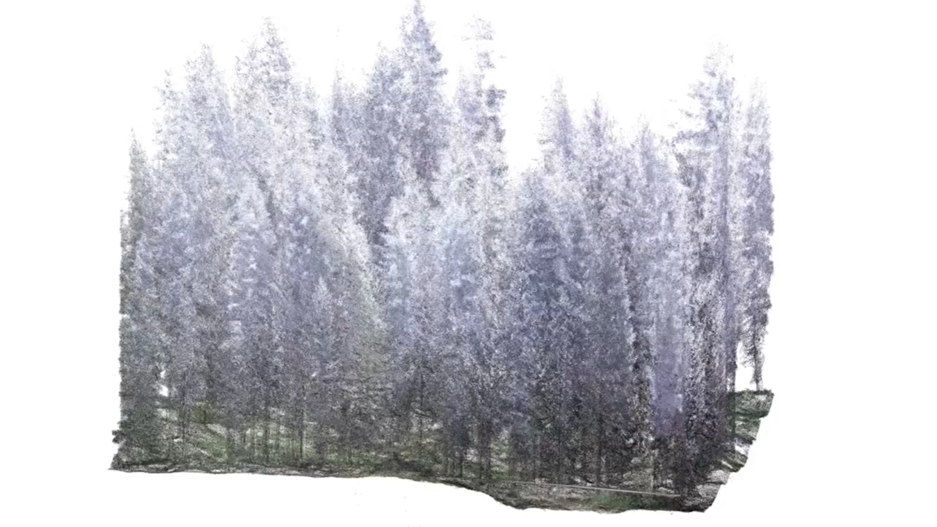
Forest point cloud example of Davos