Lägeren - A Managed Mixed Deciduous Mountain Forest
Location
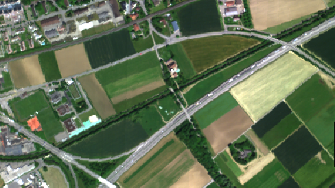
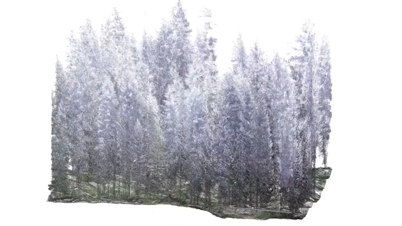
The managed mixed deciduous mountain forest is situated on the steep Lägeren ridge, approximately 800 m a.s.l. This highly diverse ecosystem is primarily dominated by beech and fir. The location serves as a critical long-term research facility, integrating the international CarboEurope IP network, the Swiss air quality network (NABEL), and the WSL Long-Term Forest Ecosystem Research site (LWF). Remote sensing measurements began here as early as 2018 and are installed on top of a 48m high measurement tower. The tower coordinates are 47∘28′42.0′′ N,8∘21′51.8′′ E, with the monitoring equipment positioned at 689 m a.s.l.
Available Datasets
Spectral
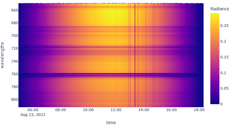
The FloxBox was installed in 2018 and measures continously the incoming and reflected radiation of beech trees.
Explore data 🡆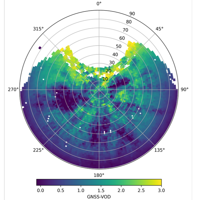
Overview

